Photogrammetry is a surveying method based on image acquisition, aimed at determining the geometric characteristics of terrain and objects, as well as producing orthophotos and three-dimensional models.
This method is suitable for the rapid and detailed processing of large areas, providing a reliable measurement basis for design and mapping tasks.
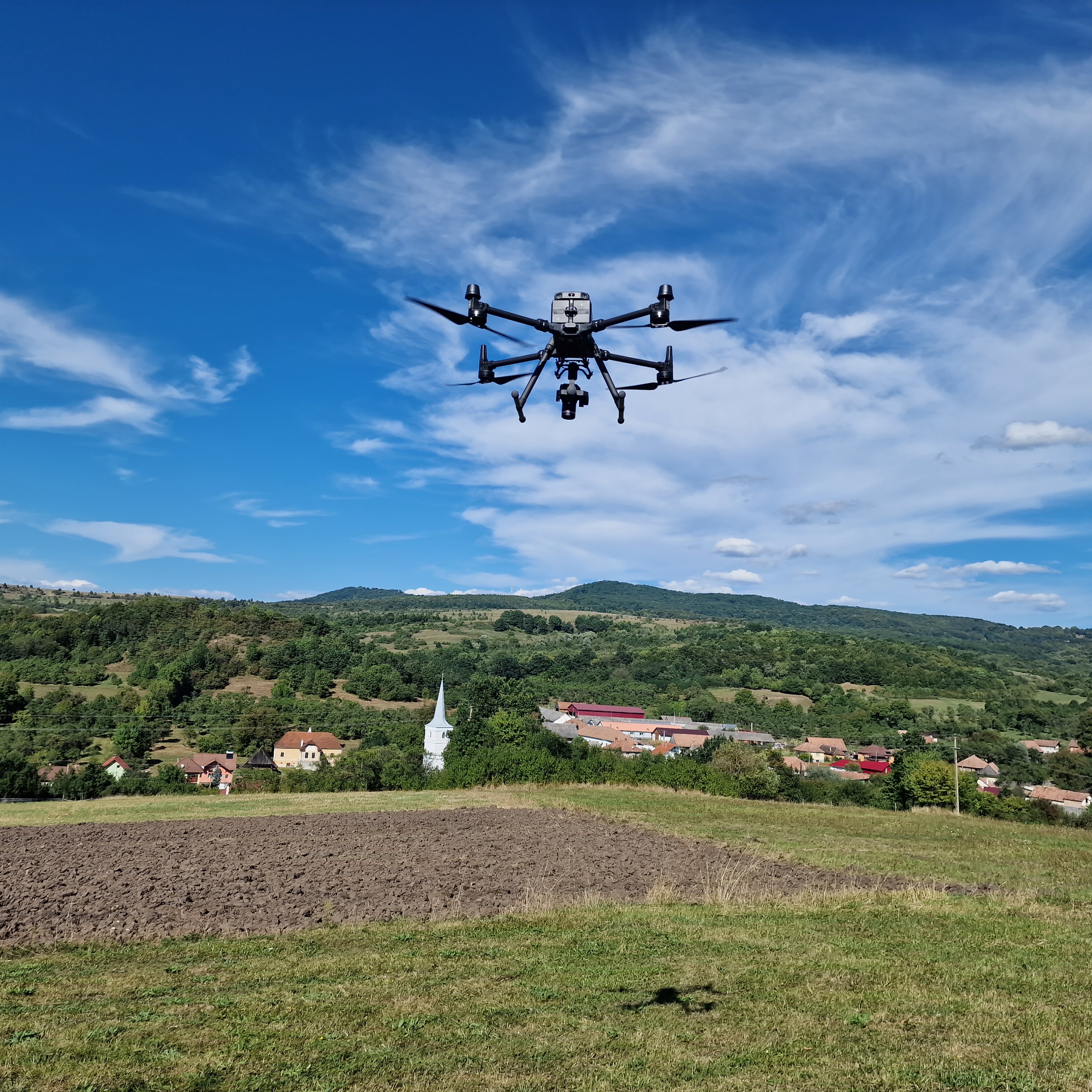
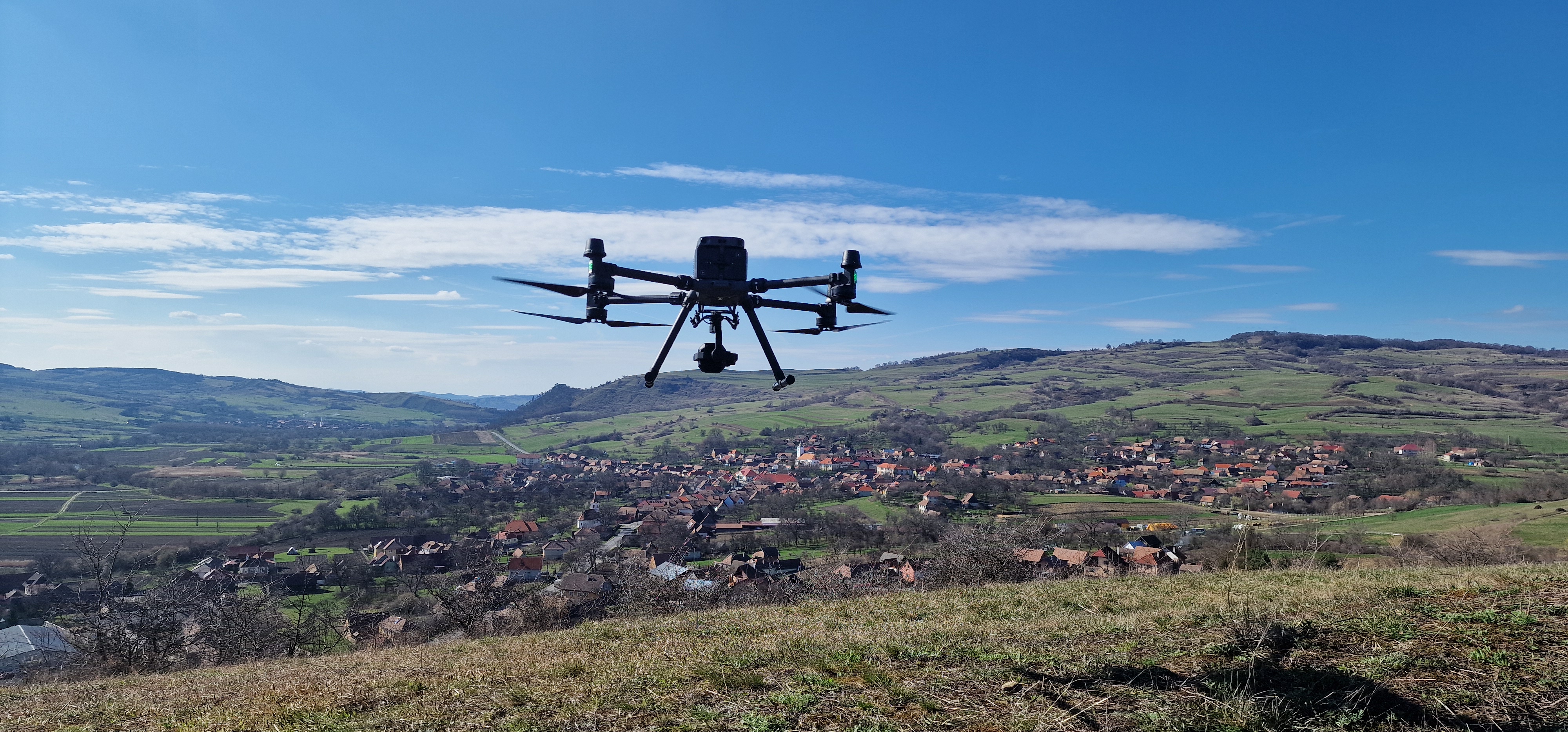
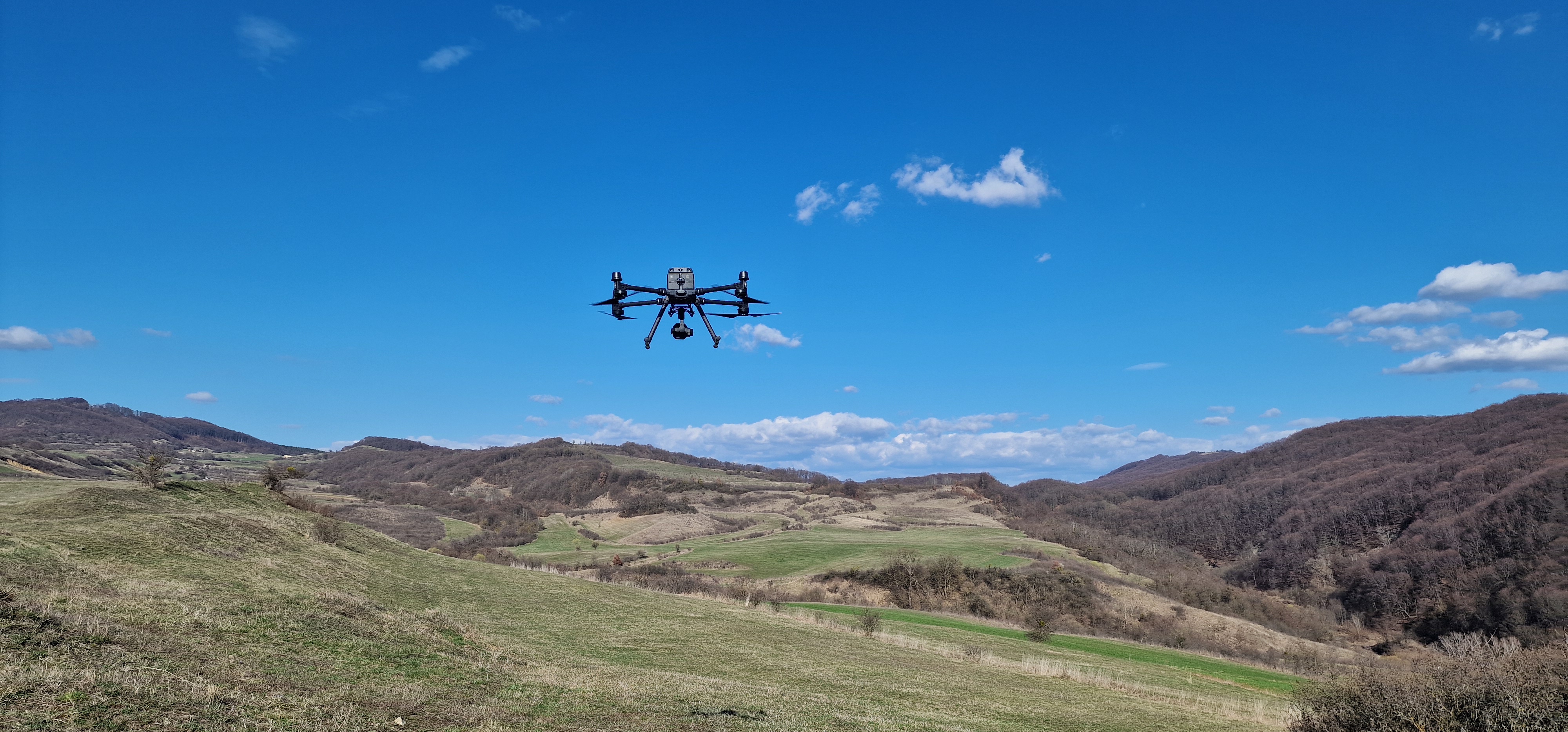
For data acquisition, we use unmanned aerial vehicles (UAVs / drones), which enable efficient surveying of large-scale or difficult-to-access areas.
During our operations, we use the DJI Matrice 350 RTK industrial drone platform, which ensures accurate data capture through its stable flight performance and RTK-based positioning system.
The selection of onboard sensors depends on the specific requirements of each project:
The selection of equipment and technologies is always adapted to the project requirements, ensuring the production of accurate, reliable, and efficiently processable measurement data.