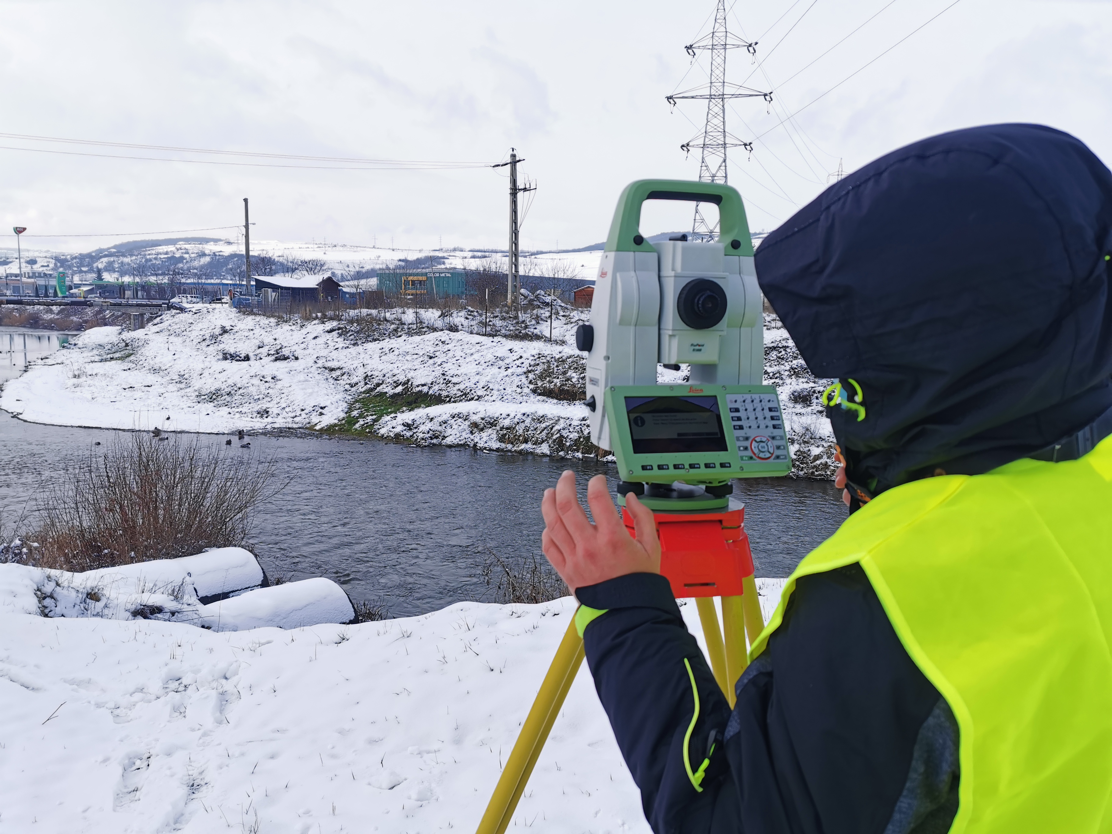
Geodetic surveys primarily involve large-scale measurements, as well as the establishment and densification of geodetic control networks, which provide an accurate spatial reference for further surveying and design works.
These measurements play a key role in projects where high accuracy and a stable measurement framework are required.
During geodetic works, measurements are carried out in reference to national and local coordinate systems, taking into account the prescribed accuracy requirements and the specific characteristics of the surveyed area.
The resulting geodetic networks serve as a reliable basis for subsequent topographic, cadastral, and engineering surveys.