3D laser scanning is a surveying method that enables the generation of high- density, high-accuracy three-dimensional point clouds. The resulting data provide detailed geometric information about the terrain and surveyed objects, forming a stable basis for topographic processing, terrain modeling, and engineering preparatory works.
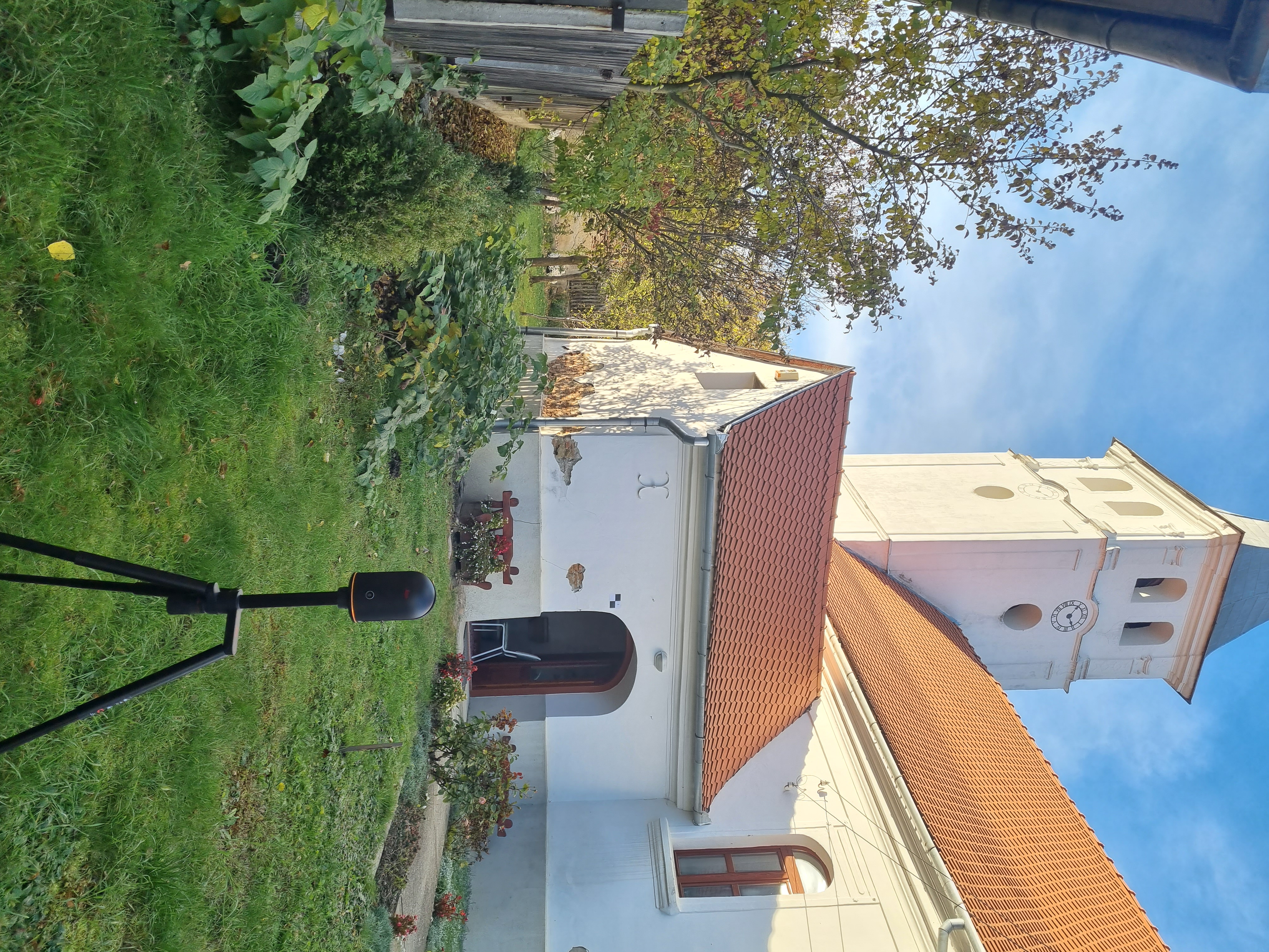
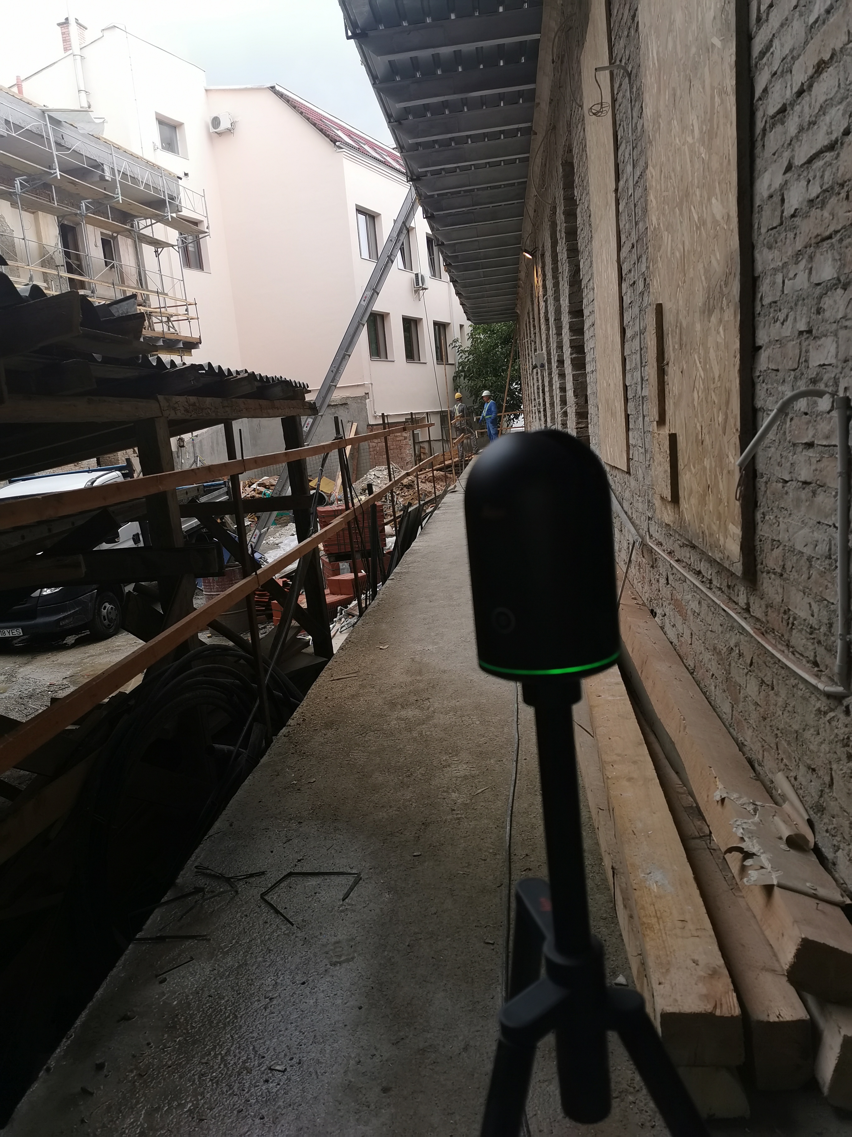
Measurements are carried out using the Leica BLK360 Imaging Laser Scanner, a compact and portable laser scanner capable of rapidly capturing detailed 3D data of terrain and buildings. (Leica Geosystems)
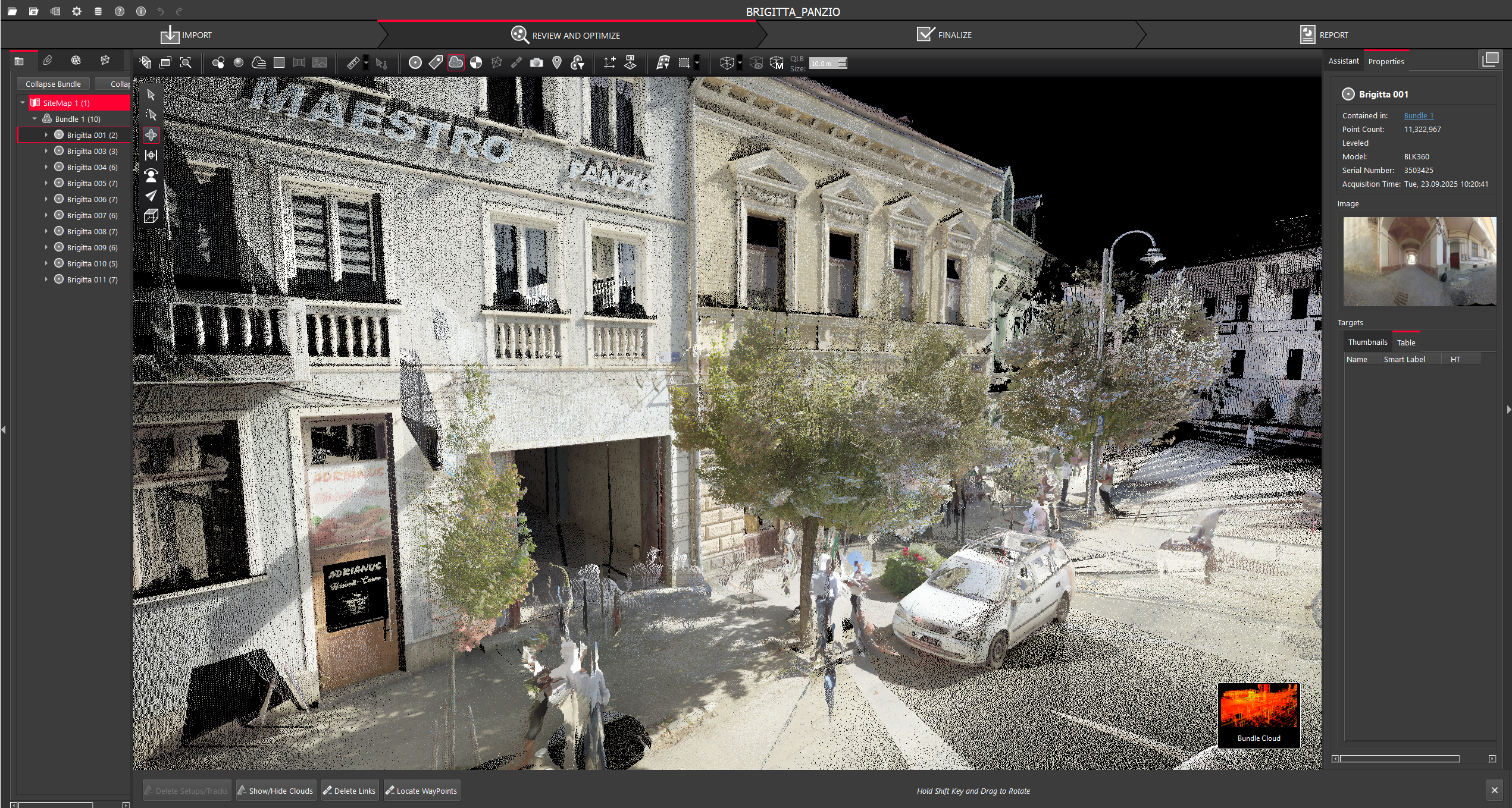
The recorded point clouds are processed using Leica Cyclone REGISTER 360 PLUS software. This professional point cloud registration and processing application supports the alignment, visualization, filtering, and export of scanning data into the formats required by the client. (Leica Geosystems)